
The Front
Wind-driven · after dark
The most destructive fires move at night, ride extreme winds, and climb terrain no rotor can safely reach. Conditions worsen every season. The window to act keeps closing.
When others stand downthe fire grows.
No new airframes. No years-long procurement. PCADS deploys from the proven military cargo fleet flying today — scaling national response with the aircraft nations already own.
The Deployment
A single pass lays down a torrential, accurately placed water payload — coverage where it matters, at altitudes and intensities a rotor cannot match.
Declassified · Scroll to advance
Wind-driven · after dark
Proven cargo fleet

High-altitude approach
Torrential · precise

Into the smoke column

Mission complete
Independently measured against the U.S. Forest Service Cup & Grid Method — recording some of the highest, most uniform coverage levels ever documented from an aerial platform.
GPC · Gallons / 100 ft²
Across drop corridor
Per deployment
A live planning surface — terrain, fire spread, wind, and computed drop corridors. Click anywhere on the map to retarget the deployment and recalculate coverage.
Decades of military aviation, wildfire operations, and aerospace engineering — assembled for a single mission.
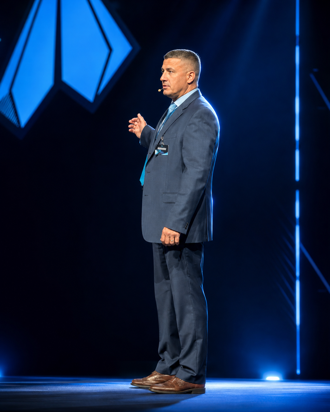
Strategic leadership and mission coordination

Senior military aviation leadership

Production planning and operational delivery

Military aviation operations
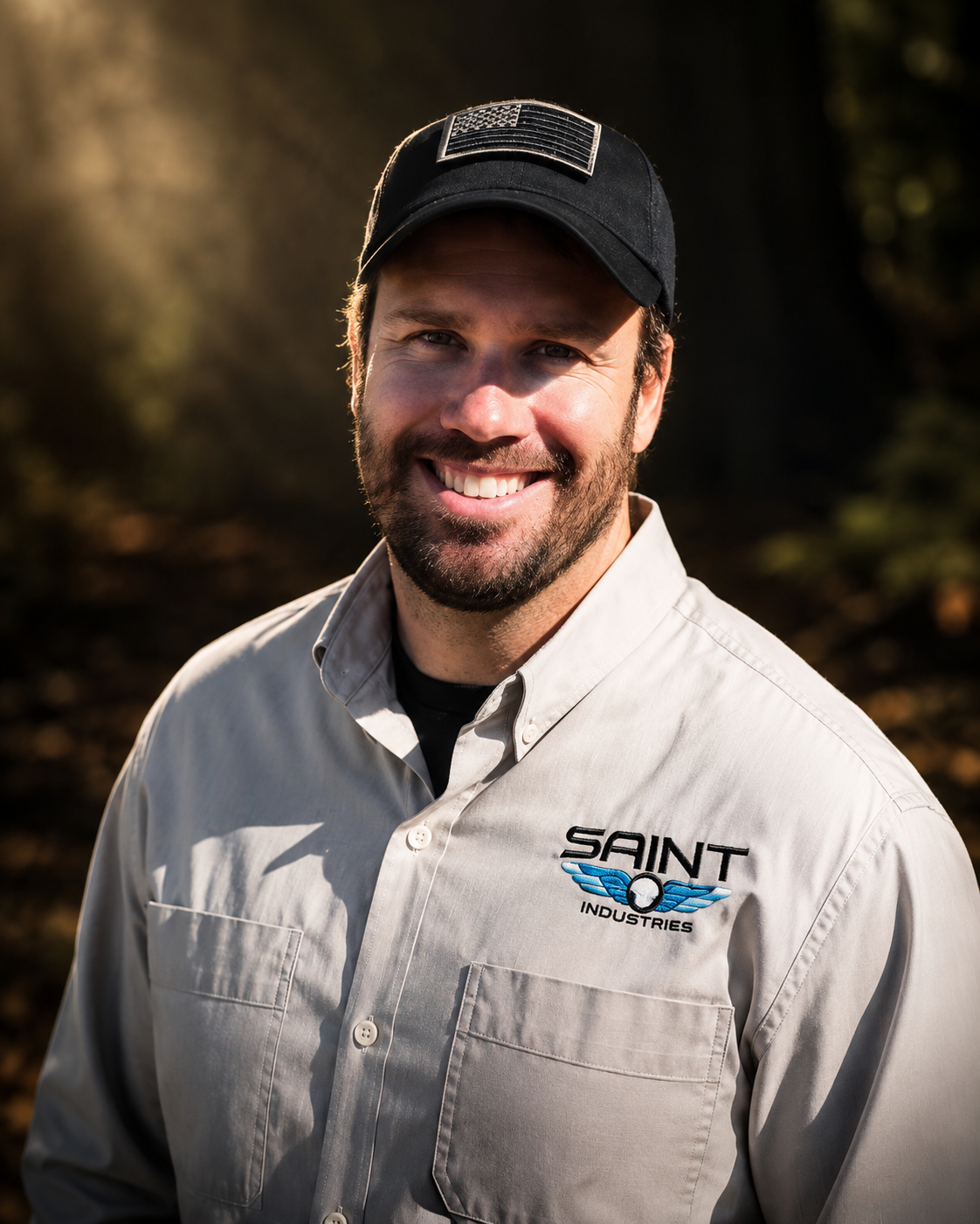
USAF mission and logistics expertise
For agency briefings, partnership, and deployment readiness inquiries — open a channel. Responses are direct and mission-oriented.
pcads@bringtherain.com
PCADS — Aerial Suppression
Available for rapid deployment